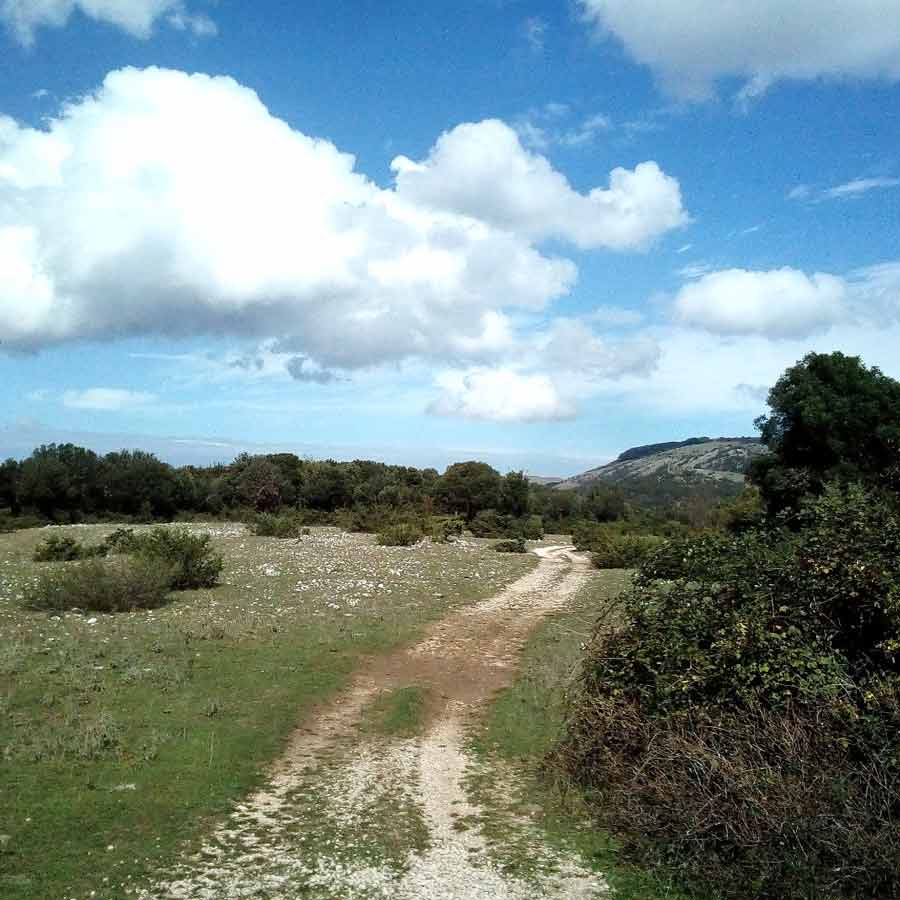

Rilievo e mappatura GPS sentieristica dell’area del cratere sismico della provincia di Perugia
Il progetto commissionato dal GAL Valle Umbra e Sibillini e finanziato su fondi PSR della Regione Umbria, si inquadra negli interventi di monitoraggio, recupero e valorizzazione della rete sentierisca della Valle Umbra e Valnerina a seguito del terremoto di Norcia del 2016. L’intervento ha previsto: 1. Il rilevamento GPS di 1.101 Km di sentieri su un areale di 1.396 kmq 2. La realizzazione di un database di 192 tracce gpx 3.La progettazione di 141 schede sentiero con 219 luoghi posa
CLIENTE
GAL Valle Umbra e Sibillini
SERVIZI
Rilievi geologici – Progettazione – Sentieristica – Database e GIS
WORKGROUP
Intgeomod
CREDITS
Progetto realizzato su fondi PSR Regione Umbria 2014-2020, Sottomisura 7.6.1 Riqualificazione e valorizzazione delle aree rurali – Intervento 19.2.1.10 per Gal Valle Umbra e Sibillini


